

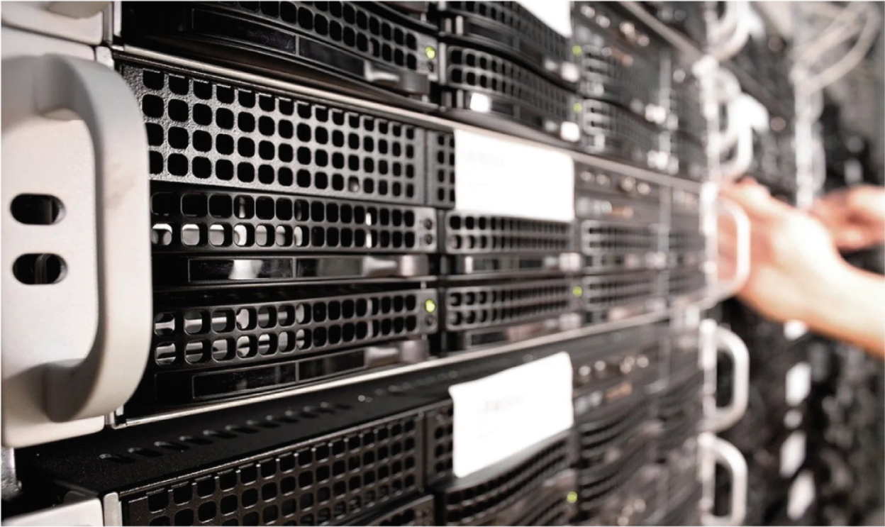
High Availability Parallel Cluster Servers for Advanced Traffic Management
CadPro's High Availability Parallel Cluster Servers provide the backbone for the central processing and storage system in modern urban traffic management. These servers are designed with open architecture, enabling easy upgrades and expansion as technology and infrastructure evolve. Optimized for handling massive amounts of real-time data, these servers offer high availability and scalability, ensuring seamless traffic monitoring, data storage, and processing. Whether it's managing traffic signal optimization, video wall systems, or public transport vehicle tracking, CadPro's servers provide reliable, high-performance solutions for smart cities.
WHY CHOOSE CADPRO'S HIGH AVAILABILITY PARALLEL CLUSTER SERVERS?
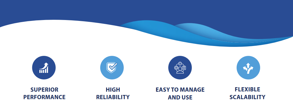
Reliability: These servers are built to ensure uninterrupted operations, supporting 24/7 traffic monitoring, signal optimization, and data processing.
Scalability: The open architecture allows for seamless upgrades and scalability, accommodating future growth and new technologies.
AI Integration: The AI-powered server clusters provide powerful image processing capabilities for traffic surveillance, improving security and law enforcement efficiency.
Comprehensive Management: Manage video walls, vehicle tracking, and traffic signals all from a single, integrated system, making urban traffic management more efficient and streamlined.
KEY FEATURES
High Availability & Open Architecture:
Uninterrupted Operations: Built to ensure maximum uptime, our high-availability servers ensure that traffic management systems operate without disruption, even during peak usage.
Open and Modular Design: These servers are designed with an open architecture, allowing for easy upgrades and expansions to keep pace with growing demands and technological advancements.
Scalable Solution: CadPro’s servers are highly scalable, capable of handling increased workloads, additional devices, and growing data storage needs as cities expand.
Server Cluster for Traffic Signal Optimization:
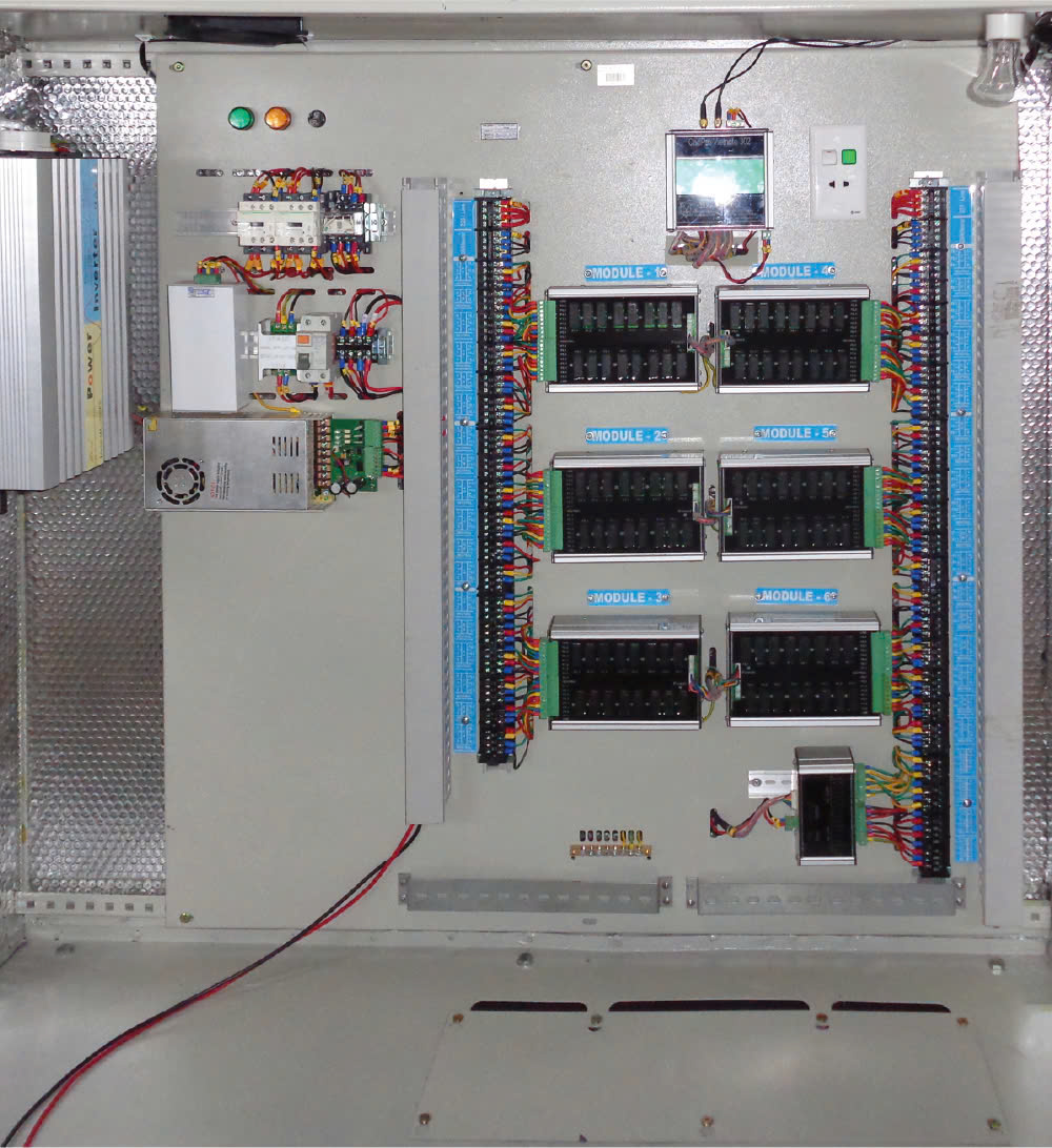
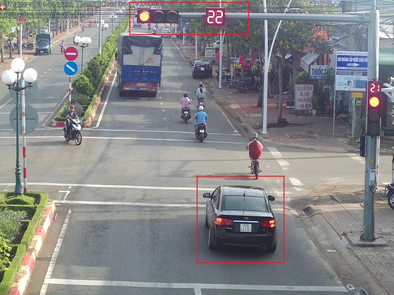
Optimized Signal Control: The CPR PL02-COM-24 server cluster manages the traffic signal optimization system, dynamically adjusting traffic lights based on real-time traffic conditions. This minimizes congestion and maximizes traffic flow, improving overall road safety.
Real-Time Traffic Flow Management: The server ensures the real-time adjustment of traffic signals across multiple intersections, making urban traffic more efficient and responsive.
Network Recording & AI Processing Cluster:
High-Performance AI Processing: The CPR PL08-VNM-24-AI server cluster integrates AI-powered image analysis and network recording capabilities. With 8 processing nodes and a total analysis capacity of 2400 images per second, this cluster can handle high-resolution traffic camera footage and process it in real time.
Intelligent Video Surveillance: The AI capabilities help identify vehicles, license plates, traffic violations, and other key events, providing crucial insights for law enforcement and traffic authorities.
Video Wall Server System:
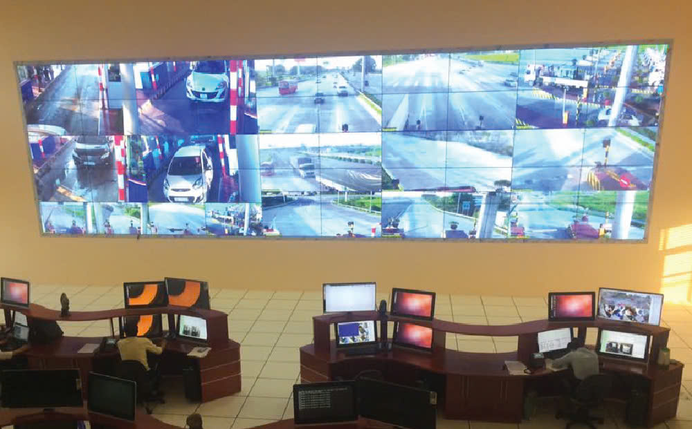
Large-Scale Video Wall Control: The CPR PL02-VW-24 server system enables the management of up to 128 screens in a video wall system. This system surpasses traditional bidding requirements by offering superior flexibility, with no limit on the number of windows displayed in a matrix, ensuring comprehensive coverage and visibility of city-wide traffic conditions.
Dynamic Video Grid Display: With video grid display software, the system can manage various video feeds, display different angles and data, and provide real-time updates on traffic, incidents, and security alerts across a range of screens.

Vehicle Tracking & Data Server:
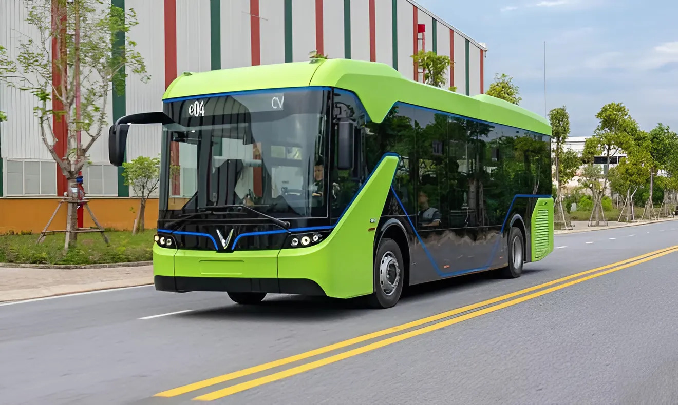
Comprehensive Vehicle Data Management: The CPR PL02-DBM-24 server system is dedicated to managing and storing data related to vehicle activities. This includes tracking public transport buses, taxis, contract vehicles, priority vehicles, and other specialized vehicles entering and exiting the city center.
Journey & Vehicle Tracking: All data regarding vehicle movements and public transportation activities, including journey data, are securely stored on this server, enabling real-time monitoring and data retrieval for analysis.
Vehicle Activity Lookup: The server also supports queries to track and report the activities of different vehicle types in the city, helping authorities monitor traffic patterns, ensure safety, and improve transportation planning.

BENEFITS OF HIGH AVAILABILITY PARALLEL CLUSTER SERVERS:
Enhanced System Reliability:
Always-On Operations: With high-availability architecture, the system remains operational 24/7, ensuring critical traffic management and monitoring functions continue without disruption.
Real-Time Traffic Optimization:
By integrating traffic signal control and AI-driven image analysis, the system can optimize traffic flow dynamically and efficiently, reducing congestion and enhancing urban mobility.
Seamless Integration:
The servers are designed to integrate easily with other traffic management and public safety systems, ensuring smooth operations across diverse city infrastructure components.
Scalable & Future-Ready:
As cities grow and technologies evolve, CadPro’s servers allow for straightforward expansion and upgrades, enabling cities to scale their traffic management solutions without major overhauls.
High-Performance Data Handling:
The AI processing server cluster enables the efficient handling of large amounts of real-time traffic data, ensuring fast, accurate decision-making based on up-to-date information from cameras, sensors, and other inputs.

APPLICATIONS FOR SMART CITIES:
Traffic Signal Optimization: The CPR PL02-COM-24 server cluster ensures that traffic signal systems adjust based on real-time conditions, improving efficiency and reducing delays for vehicles and pedestrians.
Advanced Surveillance & Violation Detection: The AI-powered network recording system processes camera footage, detects traffic violations, and provides intelligent video surveillance for monitoring urban traffic and security.
Public Transport & Vehicle Tracking: The vehicle data server system provides critical insights into the movements of public transport, taxis, and other vehicles, improving public transport efficiency and road safety.
CadPro’s High Availability Parallel Cluster Servers are designed to meet the growing demands of modern urban traffic management. With open architecture, AI-powered capabilities, and scalable infrastructure, these servers are an essential part of any smart city’s traffic monitoring and optimization strategy. Whether it’s optimizing traffic signals, monitoring vehicles, or managing large-scale video wall systems, CadPro’s servers provide the reliability and performance needed to enhance city-wide traffic management.
Ways to contact with our technical support for more details:
CADPRO JSC
Add: 11 Chau Long, Ba Dinh, Hanoi
Hotline: (84) 969.733.568
Website: http://cadpro.vn/ Email: This email address is being protected from spambots. You need JavaScript enabled to view it.